


The Balkan Constellation

DATASHEET
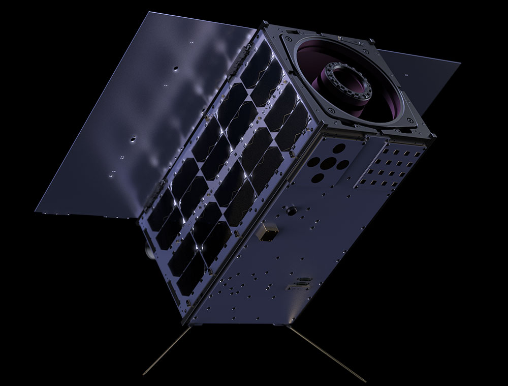
| Balkan-1 launch date | January, 2025 |
| SmallSat platform | 16U Nanosatellite |
| Spatial Resolution (GSD) | 1.5 m |
| Spectral bands: 7 multispectral + Panchromatic | Wavelength: 450 – 900 nm |
| Pixel depth | 12-bit |
| Revisit time (120 satellites) | 1.5 hours |
| Orbit altitude | 500 km |
| Swath Width | 14 km |
Detect vessels, suspicious activities and monitor maritime traffic in near real-time with ai-enabled on-board processing. Support services for border surveillance, maritime planning, and global supply chain monitoring
Fast provision of on-demand data to support geospatial mapping products for emergency response and recovery efforts
Early detection of ecosystem stress and rapid assessment of disturbances for forests and agriculture. Near real-time data to support vegetation monitoring solutions for increased safety and service continuity of energy infrastructure
Generate systematic datasets for land use and land cover analysis at national scale
Support satellite-based services for finer scale monitoring of the ecological state of coastal waters
Assess and monitor operational status of critical infrastructure such as power generation facilities, harbors, airports, and transportation networks
MONITORING ON THE BALKANS
- Unprecedent revisit time
- On-board AI processing enables new use cases
- Earth Observation & AI for rapid decision making
- APIs for fast and easy data delivery
- On-demand space data intelligence for multiple applications, with direct impact on security, emergency management, agriculture and nature preservation in Europe
- Real-time cloud-based monitoring service and AI-powered detection, warning system, available on apps directly